


By Sean Rafio
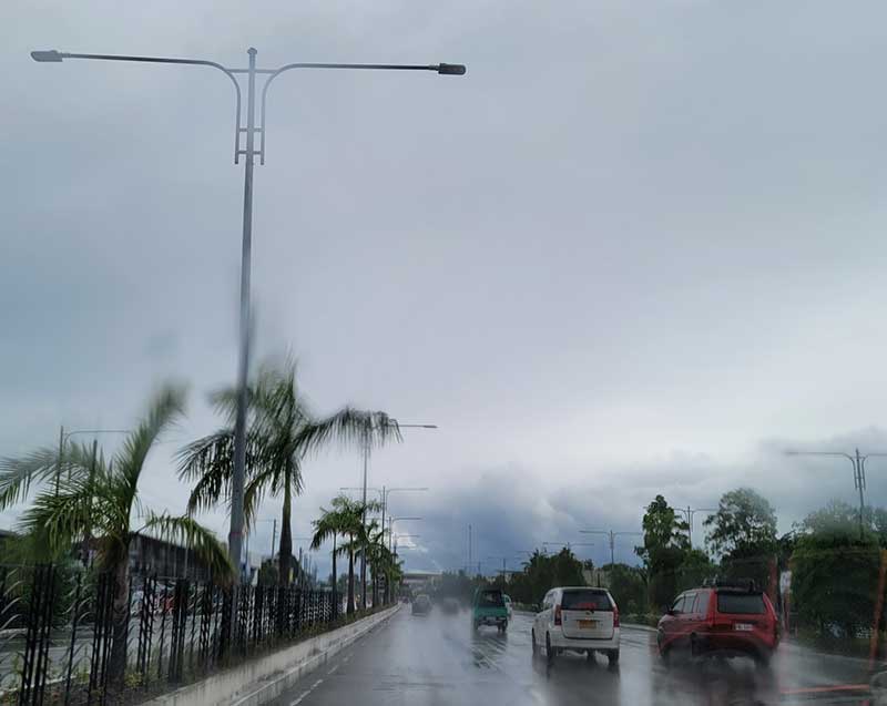
The Philippine Atmospheric, Geophysical and Astronomical Services Administration (PAGASA) warned of possible floods in Western Visayas as Tropical Storm “Agaton” maintained its strength.
Bulletins released by the weather bureau on Sunday night forecasted moderate to occasionally heavy rains in Antique, Capiz, Guimaras, Aklan, Negros Occidental, and Iloilo.
According to the latest advisory, the following rivers and its tributaries may be affected by moderate rains:
– Antique: Sibalom, Ipayo, Cagaranan, Palawan, Cairauan, Dalanas, and Tibiao;
– Capiz: Panay, Mambusao, Panay Malinao, Alingon, and Balantian;
– Guimaras: all rivers and its tributaries;
– Aklan: Ibajay, Aklan, and Jalo;
– Negros Occidental: Malogo, Sicaba, Grande, Himogaan, Danao, Upper Tabanan, Sipalay, and Lower Ilog;
– Iloilo: Pinantan, Barotac, Akalaygan, Jalaud, Jalano, Jagdong, Jalaur, Lamunan, Jaro-Aganan, Sibalom, and Guimbal.
“People living near the mountain slopes and in the low-lying areas of the above-mentioned cities and the local disaster risk reduction and management councils concerned are advised to be alert for possible flash floods,” PAGASA said.
Agaton was last spotted by PAGASA over the coastal waters of Lawaan, Eastern Samar, as of 3:00 p.m. Sunday, with wind speeds of up to 75 kilometers per hour near the center and gustiness of up to 90 kilometers per hour.
The storm is forecast to move slowly westward. By mid-Tuesday, Agaton, the country’s first tropical cyclone for 2022, is expected to interact with Tropical Storm “Malakas,” which is still currently outside the Philippine Area of Responsibility (PAR).
PAGASA said Malakas was located 185 kilometers southwest of Puerto Princesa City, Palawan. It could enter PAR by late Monday or early Tuesday and would be given the local name Basyang.
In an interview with Daily Guardian on Air last week, Engr. Ferds Rubin of PAGASA Iloilo said the occurrence of low-pressure areas and storms amid the summer is a rare occurrence due mainly to the sudden activity of the intertropical convergence zone (ITCZ).
Rubin said that since from 1991 to 2021, they only recorded four storms and typhoons during the summer season, with three making landfall in Visayas.
According to PAGASA, the ITCZ is the imaginary line where winds from the Northern and Southern hemispheres meet, brings cloudy skies with scattered rain showers and thunderstorms in Palawan, Visayas and Mindanao.
Seasonal shifts in the location of the ITCZ drastically affects rainfall in many equatorial nations, resulting in the wet and dry seasons of the tropics rather than the cold and warm seasons of higher latitudes. Longer term changes in the ITCZ can result in severe droughts or flooding in nearby areas.
Rubin said the public should brace for a wet Holy Week because of the twin weather disturbances.
